The complete photogrammetry solution
Reconstruct everything in 3D
3DF Zephyr lets photogrammetry catch on in multiple scenarios fostering different targets and needs by taking advantage of an all-in-one software suite.
Our in-house technology is as versatile and user-friendly as possible and it can easily be adapted to the users’ skills.
Choose your camera setup
3DF Zephyr allows performing 3D reconstructions automatically by using pictures and video data taken with any sensor and captured using any acquisition techniques.
You can use different cameras, lenses and focal lengths during the same surveying and scanning session.
Deal with any scanning challenge
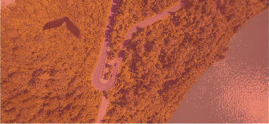
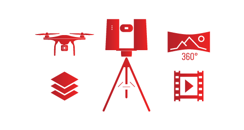
Get the most out of aerial and ground photogrammetry by processing videos, spherical pictures, multispectral and thermal + RGB imagery on a single software platform.
3DF Zephyr is not just photogrammetry: import, register and analyze your laser scan data (native file formats supported).
A comprehensive toolkit
Rely on professional selection/editing tools and filters. Leverage many utilities, from 3DF Masquerade and BIM integration to the batch processing and the DEM viewer.
Accurately scale and georeference your 3D models and calculate distances, volumes and areas.
Final products & deliverables
Create true orthophotos, DSM and DTMs, and NDVI maps. Generate sections, contour lines and track sections. Perform CAD drawing directly inside 3DF Zephyr.
Export your 3D models, drawing elements and video animations in all the most common file formats.
Software versions & FlowEngine SDK
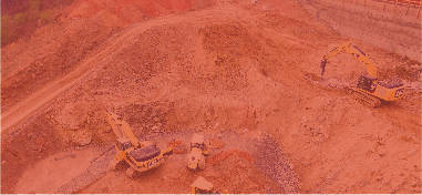
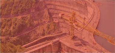
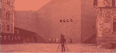
3DF Zephyr is the perfect solution to meet your 3D scanning and surveying needs, from mapping and mining to construction and cultural heritage.
FlowEngine SDK completes the whole picture as it allows you to embed our technology into your workflow.


