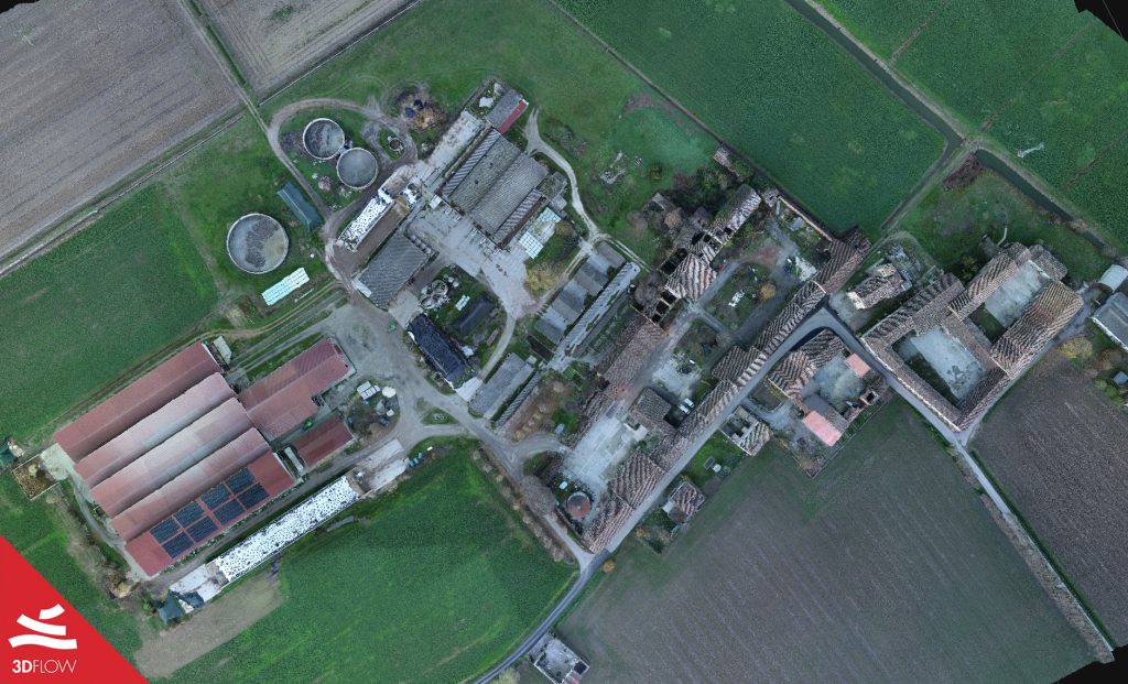
Many thanks to Simone Dall’Asta of DL Droni for sharing with us the data for this case study, showcasing an aerial survey made over a small town in the province of Cremona (Lombardy, Italy) with the drone DJI Matrice 300 RTK equipped with Zenmuse L1 technology.
This new solution that integrates RGB data from pictures and LiDAR aims at the best accuracy possible of the final output, both in terms of geometry and texture. Besides, in this case study, you will see the specific step-by-step workflow to follow in 3DF Zephyr.


